David Roth · 29 September 2026
Tidal Data Integration for Optimizing Coastal Passage Timing in Recreational Boating
Recreational boaters rely on accurate tidal information to navigate coastal waters safely and efficiently, and integration of real-time data sources has become a standard practice among those planning passages. Agencies such as the National Oceanic and Atmospheric Administration compile extensive datasets on tide heights, current speeds, and lunar cycles that feed directly into navigation software used by private vessels.
Understanding Tidal Patterns in Coastal Routes
Tidal cycles influence water depth and flow rates along shorelines, which means boaters must account for these variables when selecting departure times and routes through narrow channels or harbor entrances. Data collected from fixed monitoring stations shows that tidal ranges can differ dramatically even within a few miles, creating windows of opportunity or hazard depending on vessel draft and local geography. Integration tools combine historical records with live sensor feeds to generate predictions that adjust for seasonal variations and weather influences.
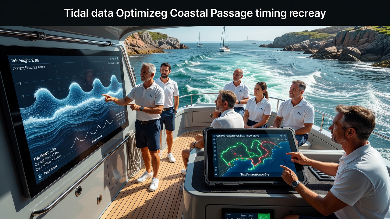
Boaters access these combined datasets through electronic chart plotters and mobile applications that overlay tidal curves onto route planning interfaces. Such systems calculate estimated times of arrival that align with peak high water or slack current periods, reducing the need for manual cross-referencing of printed tables.
Technical Methods of Data Integration
Modern navigation platforms pull information from multiple government and research repositories, merging it with GPS position data and vessel performance metrics. This process relies on standardized formats like those maintained by hydrographic offices, allowing seamless updates every few minutes during active voyages. Software developers incorporate algorithms that factor in local bathymetry and wind effects on surface currents, producing passage plans that shift dynamically as conditions evolve.
One study conducted along the Pacific Northwest coast demonstrated how integrated systems flagged optimal transit windows through a series of tidal rapids, cutting average fuel consumption by aligning engine use with favorable flows. Similar approaches appear in European waters where agencies publish combined tide and current models for busy recreational corridors.
Practical Applications for Recreational Vessels
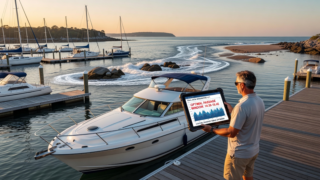
Passage timing optimization begins with pre-departure analysis that identifies slack water periods or rising tides suitable for crossing shallow bars. Boaters who input their vessel specifications into integrated platforms receive customized alerts about depth margins and current vectors, which helps avoid grounding incidents reported in annual safety summaries. In regions with large tidal ranges, such as parts of Atlantic Canada, these tools have supported consistent scheduling around commercial traffic and ferry operations.
September 2026 marks the rollout of enhanced data feeds from several national hydrographic services, incorporating higher-resolution current mapping that recreational users can access through updated chart layers. These improvements build on existing networks that already deliver hourly updates to portable devices carried aboard sailboats and motor cruisers.
Case Examples from Different Regions
Observers note that operators in the Great Barrier Reef area use Australian hydrographic data streams to time passages through reef openings where tidal flow dictates safe clearance. The same principle applies in Scandinavian fjords, where integration of local tide gauges with weather models supports multi-day itineraries that minimize exposure to adverse conditions. Researchers have documented reduced incident rates among vessels employing these combined datasets compared with those relying solely on static publications.
Cross-border collaboration between agencies supplies boaters with unified interfaces covering international waters, allowing continuous data flow as vessels move between jurisdictions. This connectivity proves especially useful during extended coastal cruises where tidal harmonics shift noticeably from one area to the next.
Conclusion
Integration of tidal datasets into navigation workflows supplies recreational boaters with actionable timing guidance derived from continuous monitoring networks and predictive modeling. Government sources and research institutions continue to refine these resources, supporting safer and more efficient coastal travel across diverse geographic zones.