Jordan Foster · 13 October 2026
Mapping Submarine Topography Effects on Surface Sailing Dynamics in Archipelagic Waters
Submarine topography shapes how water moves beneath the surface and how those movements translate into conditions that vessels encounter on the surface in archipelagic regions, where clusters of islands create complex underwater landscapes. Researchers have documented how seamounts, ridges, and trenches alter current speeds, generate localized wave patterns, and produce eddies that affect vessel handling during passages between islands. Data from multibeam sonar surveys combined with satellite altimetry reveal these features at resolutions that allow modelers to predict surface effects with increasing accuracy.
Techniques for Capturing Underwater Features
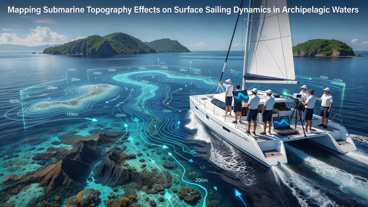
Hydrographic agencies deploy vessel-mounted multibeam echosounders alongside autonomous underwater vehicles to build three-dimensional models of seafloor contours, and these models feed directly into hydrodynamic simulations that forecast surface conditions. Observers note that integration of airborne lidar in shallower zones near island shores fills gaps left by ship-based systems, producing continuous datasets across depth ranges that matter most to sailing vessels. Studies conducted in the Philippine archipelago and the Aegean demonstrate that repeated surveys over successive years capture seasonal sediment shifts that modify current pathways.
Impacts on Currents and Wave Fields
Underwater ridges deflect deep flows upward, creating surface jets that can increase local current speeds by factors of two or three compared with surrounding waters, and these accelerations produce shear zones where vessels experience sudden changes in leeway. Seamounts rising close to the surface generate standing waves and internal waves that propagate outward, sometimes manifesting as choppy surface conditions even when wind remains light. Evidence from acoustic Doppler current profiler deployments shows that eddy shedding behind island chains creates recirculation cells lasting several hours, and these cells trap floating debris while also altering the apparent wind angle experienced by sailing craft.
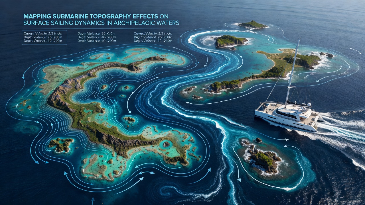
According to datasets maintained by the Australian Hydrographic Office, passages between closely spaced islands in the Torres Strait exhibit pronounced tidal amplification when submarine sills restrict flow, resulting in surface velocities that exceed predictions based on surface-only measurements. Researchers at the University of Hawaii have modeled similar constrictions in the Hawaiian island chain and found that topographic steering produces countercurrents along the lee sides of islands, areas sailors traditionally use for sheltered transit.
Navigation and Routing Implications
Modern electronic chart systems incorporate high-resolution bathymetry layers that allow route-planning software to account for current gradients and wave focusing zones, and this capability reduces fuel consumption while improving arrival time estimates. Fleet operators in Southeast Asian waters report that updated topographic maps have enabled adjustments to standard routes around the Maluku Islands, where previously unmapped pinnacles created unexpected turbulence. Those who study vessel traffic patterns observe that captains increasingly cross-reference real-time current overlays derived from topographic models with on-board sensors to refine helm inputs during transits.
Developments Through October 2026
By October 2026, the European Marine Observation and Data Network had released an expanded bathymetric compilation covering the Indonesian archipelago at 25-meter grid resolution, and this release coincided with updated surface current forecasts issued by regional meteorological centers. The new grids allowed hydrodynamic models to resolve features smaller than 100 meters across, features that previously appeared only as generalized hazards on navigation charts. Analysts tracking vessel movements noted measurable reductions in groundings near mapped shallow ridges after the data became available to commercial operators.
Conclusion
High-resolution mapping of submarine topography continues to refine understanding of how underwater structures translate into surface dynamics that affect sailing in archipelagic settings. Integration of these datasets with operational routing tools supports more precise passage planning, and ongoing survey programs expand coverage in regions where island density creates the most intricate seafloor interactions. As resolution improves and model coupling strengthens, the relationship between seafloor shape and surface conditions becomes clearer for those managing vessel operations in these waters.